From the Arawaks to the Present: Discover the Fascinating History of Saint Martin
The island of Saint Martin, located in the northern part of the Lesser Antilles archipelago, has a rich and complex history, marked by indigenous migrations, European conquests, colonial rivalries, slavery, and a unique construction of binational coexistence. Its history is closely linked to its strategic position in the Caribbean Sea, its natural resources, and its ability to reinvent itself in the face of upheaval
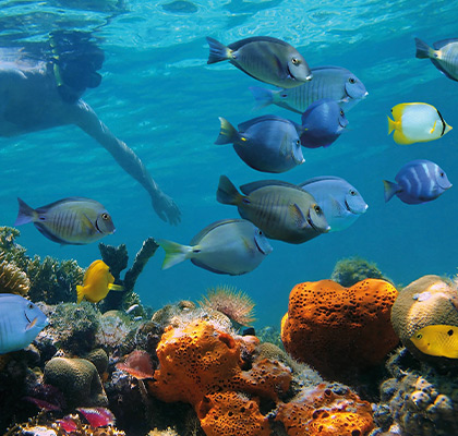
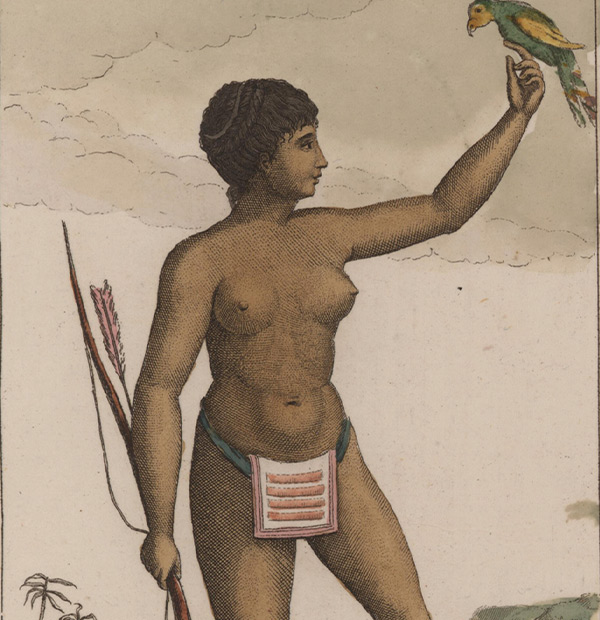
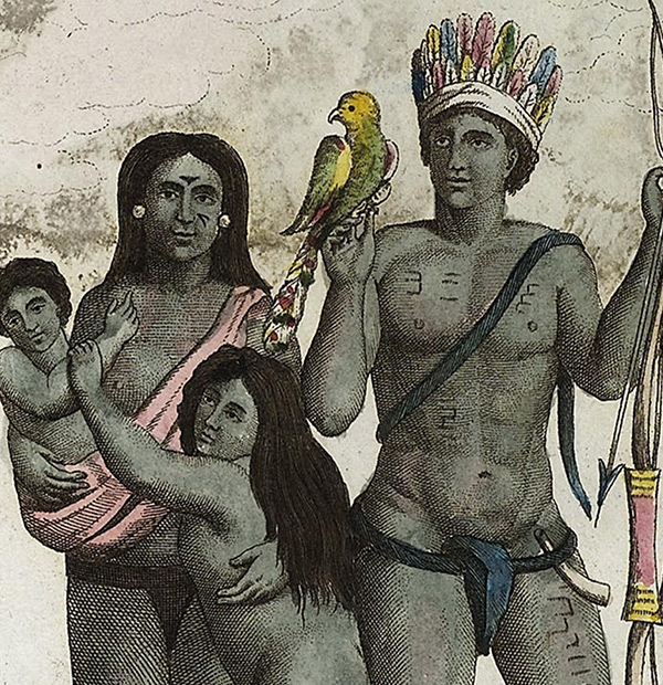
Long before the arrival of Europeans, Saint Martin was inhabited by the Arawak, a peaceful people from South America. These early inhabitants practiced agriculture, fishing, and bartering. They had a deep respect for nature and thrived in harmony with their environment. Archaeological remains, such as pottery and tools found at the Hope Estate site, bear witness to their presence.
The Arawaks were gradually replaced by the Caribs, a more warlike people who gave their name to the entire region. They called the island «Soualiga,» meaning «salt land,» because of the island’s numerous salt marsh areas. These salt resources would play a major role in the future history of Saint Martin
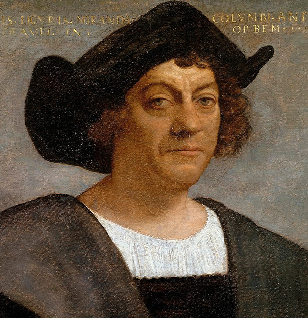
On November 11, 1493, Christopher Columbus sighted the island during his second voyage and named it «San Martin». However, the Spanish did not settle there permanently, preferring larger, more strategic islands. This void left room for other European powers, notably the French and the Dutch, who saw both commercial and military value in Saint Martin.
As early as 1624, the Dutch established a small post to exploit salt, a highly sought-after resource at the time. The French, for their part, were interested in the island due to its proximity to Guadeloupe. Regular clashes took place between Dutch and French settlers until a compromise was reached.
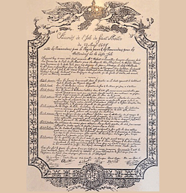
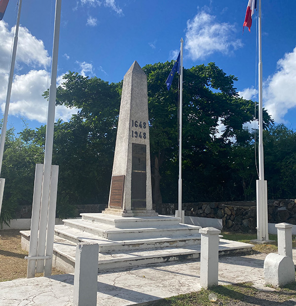
In 1648, a historic agreement was signed: the Treaty of Mont des Accords. This unique treaty peacefully divided the island between France and the United Provinces (Netherlands). The border was not fixed, but fluid, shifting according to the territories occupied by each power. This led to numerous territorial redrawings until the end of the 19th century.
Cohabitation between the two nations remains relatively peaceful, despite a few attempts by one or the other to take complete control of the island. This sharing, rare on a global scale, still makes Saint Martin the smallest island in the world shared between two sovereign countries.
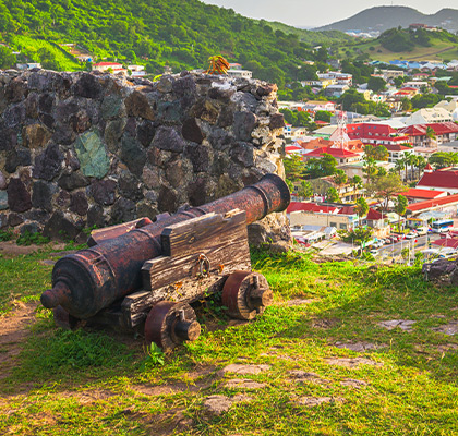
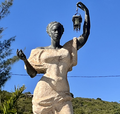
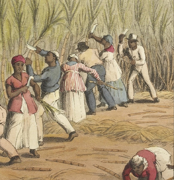
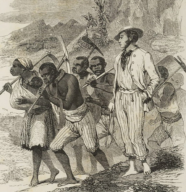
By the end of the 17th century, Saint Martin had become a plantation society, with the development of sugarcane, cotton, and tobacco cultivation. To ensure this production, the colonists imported large numbers of African slaves. Slavery became the island’s economic pillar for over a century
The living conditions of the slaves were very harsh,
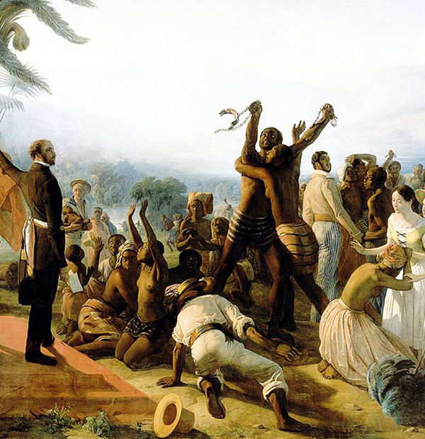
with sporadic revolts. On the French side, slavery
was abolished in 1848, while on the Dutch side it was
not until 1863. This unequal treatment reinforced the
disparities between the two halves of the island and
led to population movements from 1848, with slaves
from the south fleeing to the north to regain their
freedom.
After the abolition of slavery, agricultural production
declined sharply and the island entered a long period
of impoverishment.
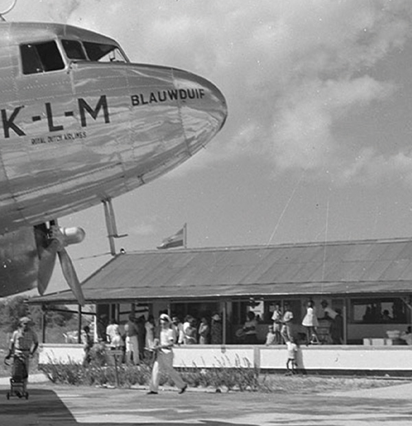

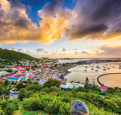
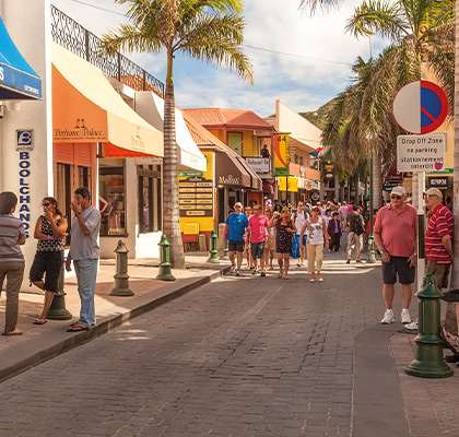
The 20th century marked the emergence of tourism, especially from the 1960s onwards. The Dutch side opened Princess Juliana Airport and welcomed the first international cruises. Tourism gradually became the main driver of the island’s economy, generating numerous jobs in the hotel, restaurant, transportation, and retail industries. On the French side, the opening of beaches, luxury residences, and water sports activities further fueled this growth.
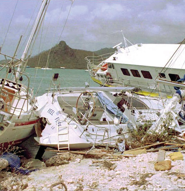
In September 1995, Hurricane Luis, a Category 4 hurricane, struck the island of Saint Martin, causing devastating damage to infrastructure, homes, and the coastline. With winds of over 230 km/h, it left the island partially destroyed and deeply scarred for years to come.
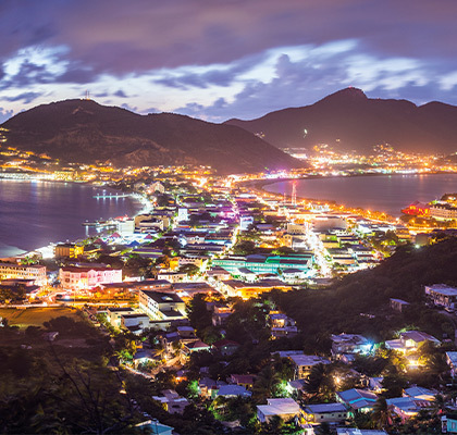
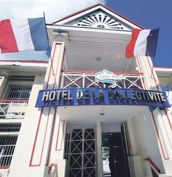
In 2007, the French side became an Overseas Collectivity separate from Guadeloupe. On the Dutch side, Sint Maarten became an autonomous country within the Kingdom of the Netherlands in 2010, following the dissolution of the Netherlands Antilles. This autonomy allows each side to decide its own local policies, although some responsibilities remain shared with the respective member states.
In 2017, Hurricane Irma violently struck the island, causing massive destruction. Reconstruction was slow, but it demonstrated the resilience of the population and the solidarity between the two sides of the island. Since then, redevelopment efforts have focused on sustainable tourism, improved environmental management, and strengthened cooperation between the two entities.
The little story
It is said that when the French and the Dutch decided to peacefully divide
the island, they organized a race. A French soldier and a Dutch soldier
set off back to back from the coast, each following the shore in opposite
directions. The place where they met is said to have determined the border
between the two territories.
The Frenchman reportedly drank wine before leaving, while the Dutchman
drank gin. Being fitter, the Frenchman reportedly walked faster and further,
which explains why the French side is larger (53 km²) than
the Dutch side (34 km²).
Some say the Dutchman cheated by walking closer to the coast, a fact
that was discovered and corrected during the final demarcation. Of course,
this is a fable, as the actual division was established by the Treaty of Mount
Accords, signed on March 23, 1648, after much negotiation.

ESCAPE 2026
Escape, the Saint Martin guide – explore beaches, restaurants, activities, and boutiques handpicked for a full island experience.
See the 2026 edition!